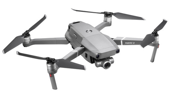
Next month the Geospatial Environment Online (GEO) Update 2.0 for DJI drones will be released. The update of the DJI GO 4 and the firmware will be available first in the U.S., then in other regions. It mainly brings new finer definitions of the boundaries of no-fly zones, which limit by geofencing where a drone can fly.
These are no longer defined with the update as coarse two-dimensional circles around the respective objects such as airports, but can now assume three-dimensional (polygon) shapes, which correspond better to the characteristics of the respective objects. This has the advantage that, for example, drone flights are no longer restricted to the side next to the approach lanes. DJI changes the provider for the underlying geospatial data - PrecisionHawk replaces the previous AirMap service.

For example, no-fly zones for airports now include special restrictions in the entry and exit corridors - where drones can fly, but only at a height of 120 metres (in a zone of 8.4 km) or 60 metres (in a zone of 3.6 km in front of the total no-fly zone).
DJIs Geofencing uses GPS signals to automatically prevent drones from flying near sensitive locations such as airports, prisons, nuclear power plants or military installations. At such locations, a DJI drone cannot take off or fly without special permission. Drone pilots with verified DJI accounts can unlock some areas if they have legitimate reasons and necessary permits, but the most critical areas require special measures by DJI to unlock them. DJI has streamlined the approval process so that professional drone pilots with flight clearance can receive unlock codes at sensitive locations within 30 minutes.

The new Geofencing no-fly zones around airports
So far, DJI's GEO system has defined an 8km circle around airports, with increased restrictions in a smaller circle encompassing the airport grounds. The GEO 2.0 system defines the increased flight restrictions more precisely: a 1.2 km wide rectangle around each runway and the flight paths at both ends. Less stringent restrictions apply to an oval area within 6 kilometres (3.7 miles) of each runway.
This new form of no-fly zone extends the permitted flying range for drones on the sides of runways as well as within an area of more than 3 kilometres (1.9 miles) from the end of a runway, while increasing protection at the points where aircraft actually fly. It remains to be seen to what extent the new GEO 2.0 system can be leveraged by hackers (www.slashcam.de/news/single/No-Fly-Zones-Hack--DJI-schlaegt-zurueck-13729.html).

